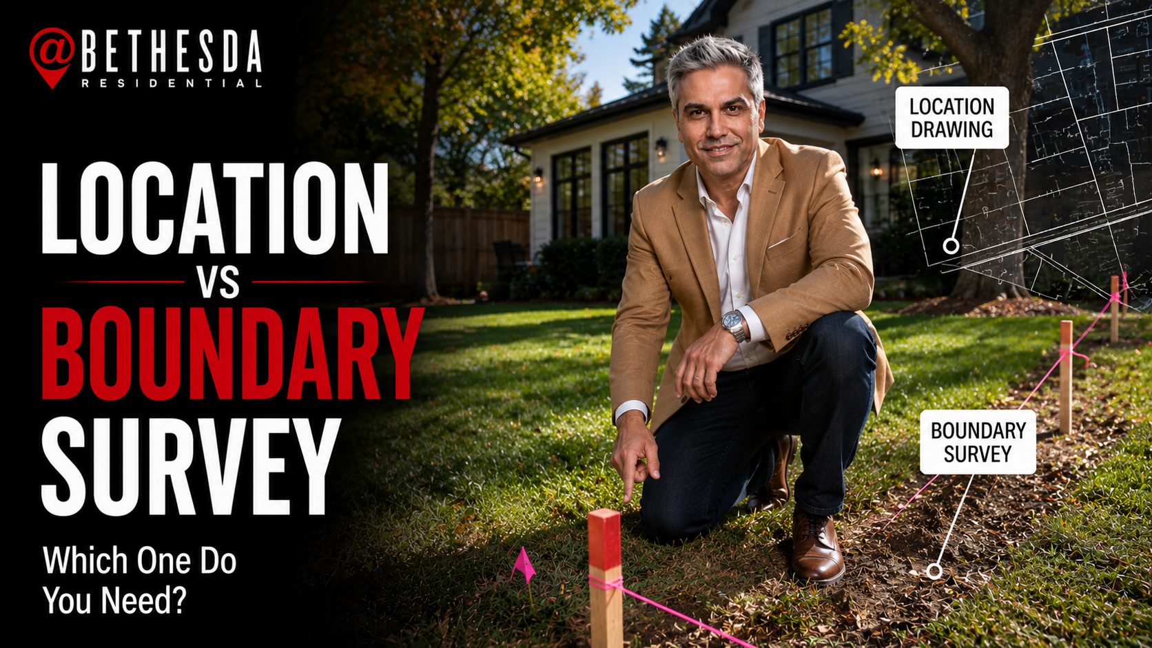
Most Maryland buyers receive a location drawing ($350–$700) at closing — not a full boundary survey. A location drawing shows where structures sit on a lot within ±1 foot using recorded plats; a boundary survey ($600–$1,400) physically stakes legal corners and is worth ordering when you plan to build, have encroachment concerns, or are buying a large lot.
Quick Answer
Most Maryland buyers receive a location drawing ($350–$700) at closing — not a full boundary survey. A location drawing shows where structures sit on a lot within ±1 foot using recorded plats; a boundary survey ($600–$1,400) physically stakes legal corners and is worth ordering when you plan to build, have encroachment concerns, or are buying a large lot.
When you're closing on a home in Bethesda or Potomac, you'll see a line on your settlement statement for a "survey." Most buyers assume that means a full survey of the property — corners staked, boundaries confirmed, legal certainty locked in.
Most of the time, that's not what you received.
What's typically ordered for a Maryland residential closing is a location drawing — a scaled diagram showing where the house sits on the lot, based on the recorded plat and legal description. It's not the same as a boundary survey. Understanding the difference before you close can save you from a frustrating surprise later — especially if you plan to build anything after purchase, if there's a fence close to the edge of the lot, or if the lot shape is anything other than a standard rectangle.
This is one of the most consistently misunderstood line items in a Maryland closing. Here's what you actually need to know.
What a Property Survey Actually Is (And What Maryland Buyers Usually Get)
In Maryland, two types of property surveys come up in residential real estate: the location drawing (sometimes called a mortgage survey or house location survey) and the boundary survey (sometimes called a boundary stakeout or plat survey). Most buyers get the first one without knowing the second exists.
A location drawing is what your title company typically orders. A licensed surveyor prepares it using recorded plat maps, deed descriptions, and property dimensions already on file with the county — but they don't go out to the property and physically locate markers or stake corners in the ground. The result is a scaled diagram showing the approximate position of improvements (the house, garage, any additions) relative to the lot lines, with an accuracy tolerance of roughly plus or minus one foot.
That's usually good enough for the lender and title company. Most purchase loans in Maryland — conventional, FHA, and VA — require only a location drawing at closing. It confirms the structure is on the correct lot, reveals visible encroachments, and satisfies the standard requirements for the lender's title policy.
A boundary survey is a different process entirely. A licensed surveyor and crew go out to the property, conduct field measurements, research the chain of title, and place physical monuments — stakes or pins — at the legal corners of the parcel. It establishes where the boundary lines actually fall, not just where they appear to be based on the recorded plat. The result is a certified plat that carries legal weight and can be recorded with the county.
Boundary surveys require crew time in the field, more extensive deed research, and higher fees. They're what you need when legal precision matters — not just an approximation within a foot.
One thing worth understanding before you close: the standard owner's title insurance policy in Maryland includes a "survey exception" — language that excludes coverage for boundary disputes that a survey would have revealed. A location drawing typically doesn't remove this exception. A boundary survey, in some cases, can. If you're buying a high-value property and this distinction matters to you, raise it with your title company early — not the day before settlement.
When a Property Survey Upgrade Is Worth the Extra Cost in Bethesda
For most buyers purchasing a standard single-family home in an established Bethesda or Chevy Chase neighborhood, the location drawing is sufficient. But there are specific situations where upgrading to a boundary survey before closing pays for itself many times over.
You're planning to build soon after purchase. If you want to add a fence, build a deck, install a detached garage, or expand the footprint of the home, Montgomery County will require a survey before permitting the work. Ordering it before you close — or at minimum, budgeting for it immediately after — is far smarter than assuming the lot is the size you think it is. A lot line 8 feet closer to the house than the plat suggested can blow up an entire renovation plan.
There's an apparent encroachment. If a neighbor's fence, driveway, or structure appears to cross the property line — or if the home you're buying has a deck or addition that runs close to the edge of the lot — a location drawing may not give you enough precision to know for certain. A boundary survey establishes exactly where the line falls, and your inspection and financing contingency windows are the right time to find out — not after you've moved in.
You're buying a large or irregular lot. The more complex the property, the less reliable a location drawing becomes. If you're buying in Potomac with two or more acres, a wooded rear lot, a corner property with multiple frontages, or a home in an older subdivision with a complicated plat history — the extra cost of a boundary survey buys you real legal certainty. Lot lines in older Montgomery County neighborhoods can diverge meaningfully from what anyone assumes.
You're purchasing new construction. New construction in Bethesda and North Bethesda often involves lots that were recently subdivided, reconfigured, or carved out of larger parcels. A boundary survey confirms that what's on the recorded plat matches what's on the ground — especially important before you close on a newly graded site where the driveway, retaining walls, or drainage may have shifted things relative to the original stakes.
You want to remove the title policy's survey exception. Some buyers on high-value purchases — particularly in the $1.5M–$2M range common in Bethesda and Potomac — request a boundary survey specifically to negotiate removal of the survey exception from their owner's title policy. Not every title company will accommodate this, and your lender may need to be involved. But for a home where a future boundary dispute could carry serious financial consequences, the conversation is worth having before you commit to settlement.
A useful free starting point: Montgomery County's iMap tool provides publicly recorded plat information and lets you view property lines based on recorded data. It's not a substitute for a professional survey, but it's a reasonable first check before you decide whether to order anything further.
What You'll Pay and What to Ask For at Closing
In the Maryland suburbs, expect to budget as follows:
- Location drawing: $350–$700 for a standard residential lot in Montgomery County. This is typically included automatically in your closing costs and ordered by the title company. You don't have to request it separately — it just appears on the settlement statement.
- Boundary survey: $600–$1,400 for a suburban residential lot in Bethesda, Potomac, or Chevy Chase. Complex lots with long legal descriptions, overlapping plats, or unresolved easement questions can push higher. Allow two to four weeks for a crew to be scheduled and the certified plat to be delivered.
If you want a boundary survey, you need to request it explicitly. The title company will not upgrade you on their own. The best time to raise it is during the contract phase — ideally before your inspection contingency expires — so you have results in hand before you've fully committed to the purchase.
In some negotiations, a buyer's agent can ask the seller to provide a current boundary survey as a condition of the deal — particularly when there are visible ambiguities on the property or a history of disputes. It's a reasonable ask when the situation calls for it, and easier to raise at contract than at the settlement table.
At closing, the survey fee will appear as a line item on your settlement statement. Keep a copy of the surveyor's certificate from the closing package — it's a document you may need again if you apply for permits later or if a boundary question ever comes up with a neighbor.
For most Bethesda buyers purchasing a typical neighborhood home on a standard lot, the location drawing ordered automatically at closing is all you need. But if you're buying on an irregular lot, planning any kind of construction or fencing after closing, or noticing something on the property that raises a question about where the lines actually fall — upgrade to a boundary survey before you close. The cost difference is a few hundred dollars. The cost of discovering a problem after the fact is something else entirely.
If you're working through what due diligence makes sense for a specific property you're considering, I'm happy to walk you through it. Reach out anytime.
About Pey Behin
Pey Behin is a residential real estate agent serving the Washington, DC metro area, with a focus on Bethesda, Montgomery County, and Northern Virginia. He works with buyers and sellers who want clear strategy, data-driven pricing, and direct guidance throughout the transaction process.